360-degree panorama and digital wayfinding
Hochschule Darmstadt is spread across large campus areas at several locations in Darmstadt and Dieburg. Guests and new students should be able to find their way around more easily and explore the variety of departments virtually.
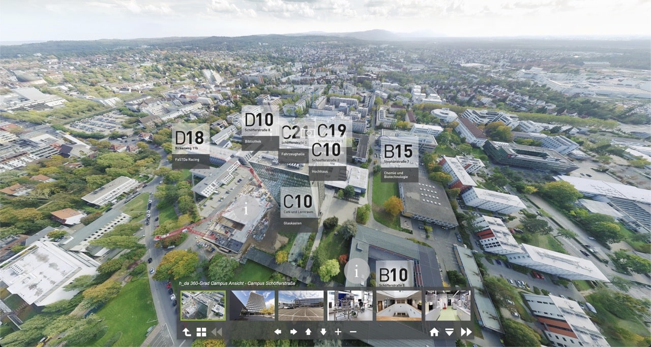
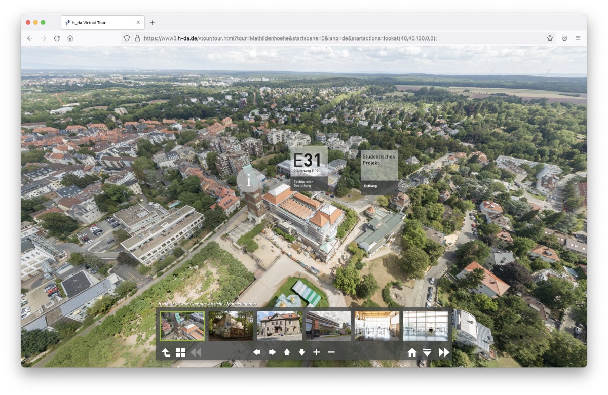
360-Degree Panoramas
Since 2019 we have been developing a growing 360-degree panorama of the university campus areas: In addition to aerial drone footage, photo series at selected viewpoints form the basis for the 360-degree views. The locations can be viewed from an aerial perspective; from there, different buildings can be selected and explored. Users can look all around and move within the application, much like in game levels, to other areas adjoining the field of view. Additional text information, videos and photo series support the extensive visual impression of the university environment. Coverage of the still-growing campus is being completed and updated step by step.
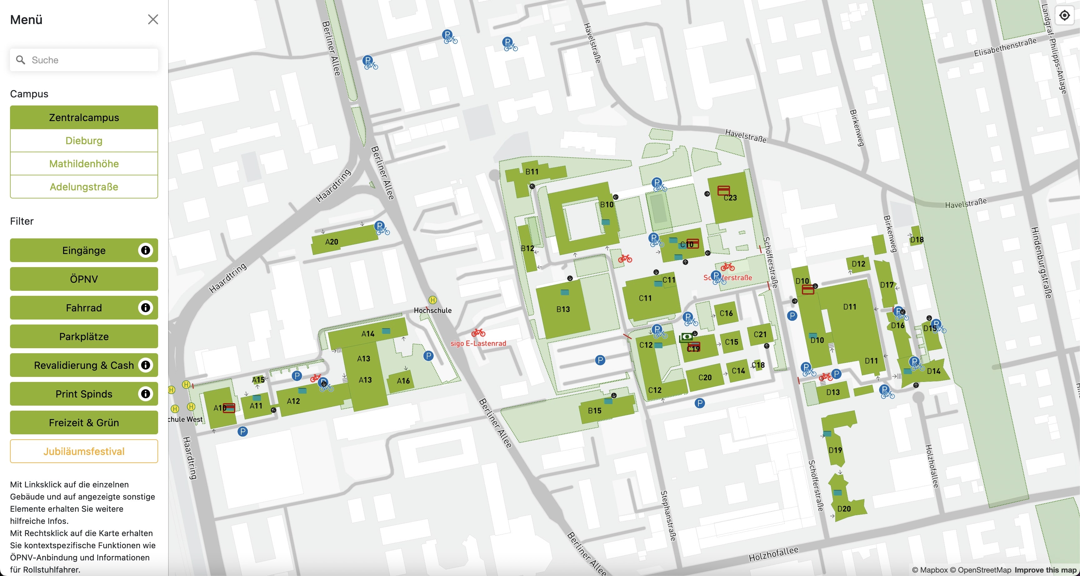
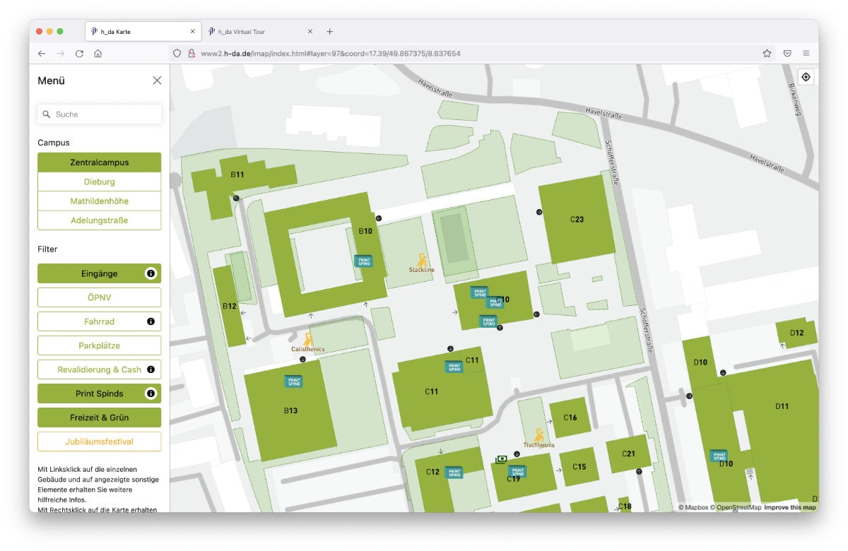
Digital Wayfinding
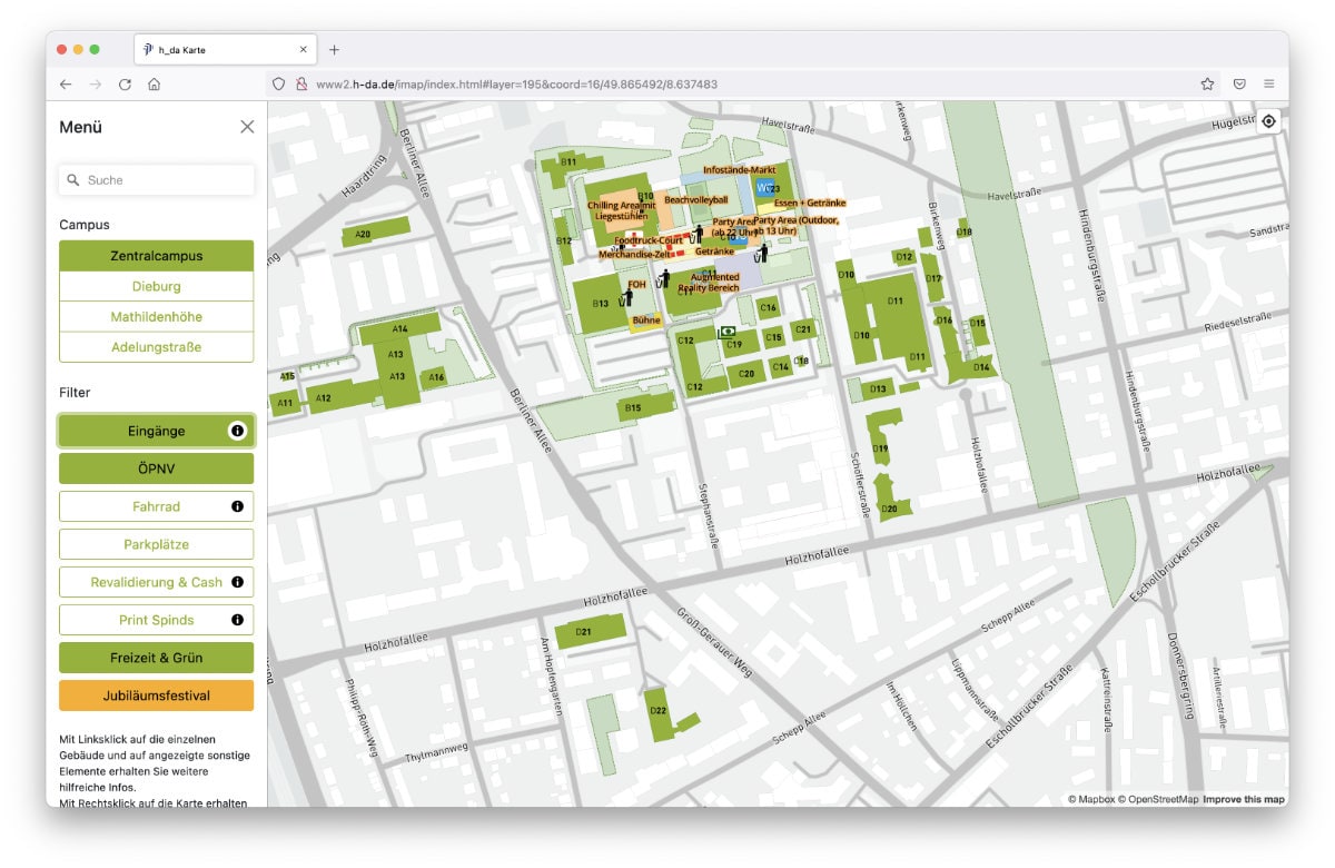
The map application, based on open-source geodata, makes it possible to display university-relevant information and locations, from parking spaces and barrier-free entrances to the dispensers for the university magazine. The individual departments are named and described with photo and text information. For navigation, a selected location can be transferred to compatible navigation apps.
CLIENT
Hochschule Darmstadt University of Applied Sciences
PERIOD
Since 2017
SKILLS
Project Coordination, Drone Footage, Photos, Stitching, Web Development, Programming
CREDITS
Jo Henker Fotografie
LINKS


Contact us